Ramšakov vrh
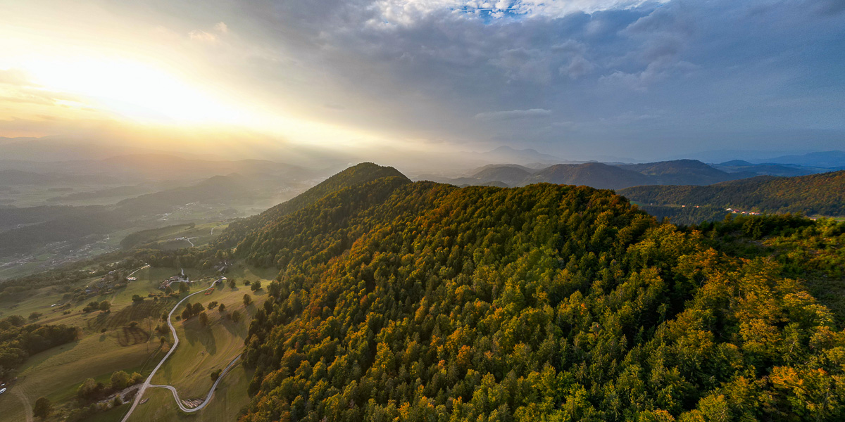
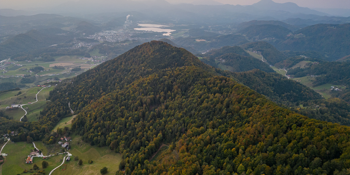
 Ramšakov vrh is the highest point of the circular route around Vinska Gora. On the 970 m high summit, in addition to a bench, there is also a register box with a visitors' book and a stamp. Since the summit is surrounded by forest, there is no nice view from it.
Route description from Vinska Gora: From the car park by the church we continue along the asphalt road and at the junction continue to the left. After a few dozen metres the markings direct us up to the left onto a narrower road. Later the road descends slightly, and we then soon continue to the right into the forest. There follows a traverse along a narrow path through the forest, which quickly brings us to a fork below Gonžarjeva peč. To the right leads a very demanding climbing route, while we continue to the left and for a short time still traverse the slope towards the west. Soon we are again at a fork and this time continue up to the right. The path then begins to climb and the slope also becomes ever steeper. There follows only the final climb to the viewpoint, where the climbing route joins us from the right. In the last section, the path is also secured with a railing.
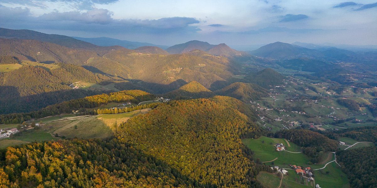
From the viewpoint we continue through the forest, uphill alongside the railing. After a short climb we come out of the forest onto pastures from where a view opens up of Radojč and the neighbouring Ramšakov vrh. From the pastures the path brings us onto a road along which we continue to the right to the Gonžar farm.
At the junction by the farm we continue to the left along a gravel road and are quickly at a fork again. To the right leads the Šalek mountain trail, while we continue further along the road. At the next junction we continue slightly to the left and the path brings us to another mountain farm. Here the path turns sharply right and begins to climb through the forest. Later the path joins a cart track that brings us to a clearing. Here the path turns right and again begins to climb somewhat more steeply. Soon we reach a wooded ridge where we continue to the right, and there follows only a shorter climb to the summit of Radojč. From the summit we continue along the ridge and begin to descend somewhat. The path brings us to a fork on the northern side of the ridge, where we continue up to the right towards the ridge. On the ridge we then continue to the left and after a few shorter climbs and descents we reach Ramšakov vrh. Source: Hribi.net